Construction Surveying Services
Request a Proposal
What We Do
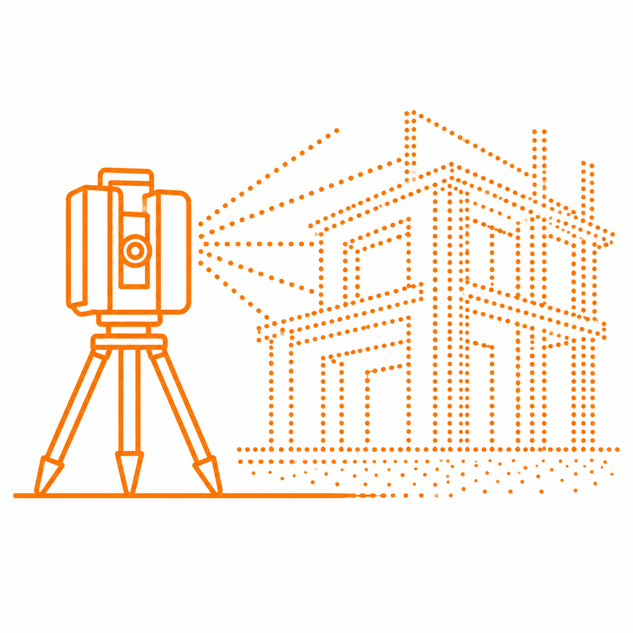
High-definition scanning of buildings, bridges, industrial plants, and mechanical rooms • Point cloud processing and scan-to-CAD support • As-built documentation and construction verification
Laser scanning captures dense, accurate existing-condition information that supports renovation planning, structural coordination, fabrication checks, and documentation in environments where assumptions are expensive.
Our Process
Plan scanner positions and site access • Capture high-definition field data • Register and clean point clouds • Package usable deliverables for design and construction teams
Typical Deliverables
Registered point clouds • Scan-to-CAD support • As-built documentation • Existing building datasets • Verification exhibits • Coordination support files
Why Choose VP Geospatial
VP Geospatial is construction focused first. Our team combines responsive communication, field-tested survey procedures, Trimble technology, laser scanning, drones, TBC workflows, machine control support, and independent QA/QC verification to help contractors, engineers, owners, and designers move from preconstruction through closeout with confidence.
Talk with VP Geospatial about construction-focused survey support tailored to your schedule, site conditions, deliverables, and quality requirements.
Talk With Our Team